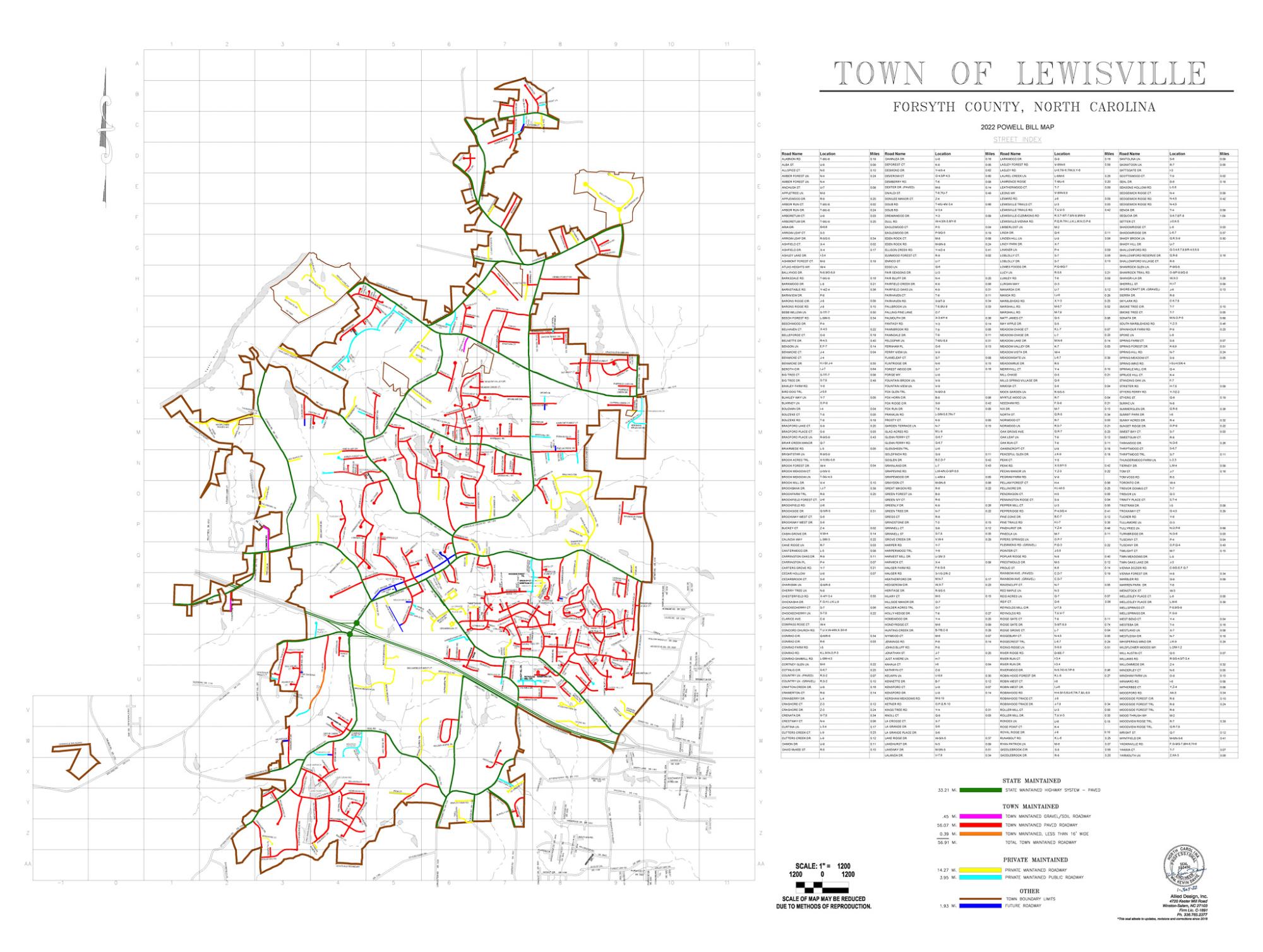
The map shown below highlights the boundaries of the Town of Lewisville, plus it also lists all of the streets within our municipal limits. Please note that the map is color-coded so you can see whether your road is maintained by the State of North Carolina Department of Transportation (NCDOT), the Town of Lewisville, or by a private neighborhood or association.
This local street map is sometimes called a “Powell Bill” map. According to the North Carolina Association of Metropolitan Planning Organizations (NCAMPO), the 'Powell Bill' map is created to allocate funds to towns for maintaining, repairing, constructing, reconstructing, or widening of any street or public thoroughfare within the corporate limits of the town.